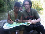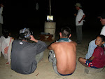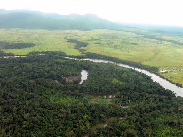
Guiana highlands. No roads, but loads of rainforest, savanna, and one big fat river, the Ventuari, major tributary of the Orinoco. An 'isolated place', hidden behind waterfalls and within a fortress of tabletop mesas, home to the Ye'kuana people (ca. 4000). I've been working with this one village (Jodoimenña) since 1998, documenting biodiversity, working on antimalarial projects, solar-oven workshops, education... Here, some shots from our latest 'expedition' in June of 2006. A two week collaboration with the community and 3 students from Cornell. Read on...
Image (c) Val Druguet.